| Note:
To see a bigger photo, click on the small one |
|
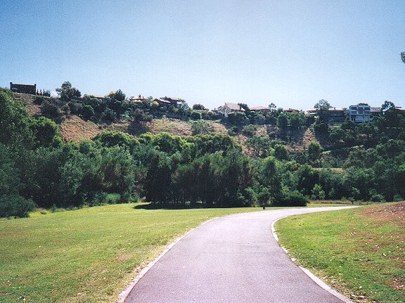
Brimbank Park comes as something of a surprise when you see it
for the first time, because it's a pleasant retreat in the midst of great urban
ugliness.
|
| Little of the park is visible while travelling on the road past
it, due to the fact that the park is inside a large, fairly deep
natural
basin. |
 |
|
The most prominent landscape feature in the area is actually the nearby Keilor Terminal
Power Station, which might easily take the prize for
the ugliest urban landscape in Melbourne. Thankfully, it's not
visible from inside Brimbank park.
The park used to be farmland, settled by Europeans in the
1830s. Archaeological evidence indicates that Aboriginal people
had occupied the land for 40,000 years prior to that, making it
one of the oldest known sites of human habitation in Australia.
At the time of European settlement, this area was home to the
Wurundjeri Aboriginal people. (Historical information about Brimbank Park
from Parks Victoria literature).
|
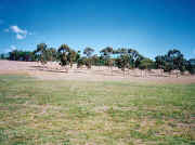 |
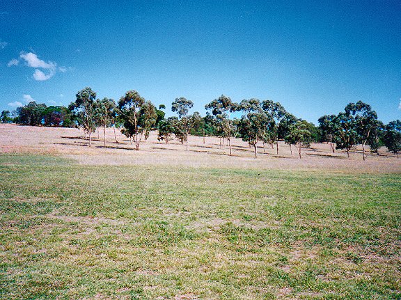
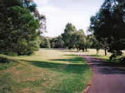
The park is now a mixture of open native grasslands, wooded
areas ... |
| and the tree-lined Maribyrnong riverside ... |
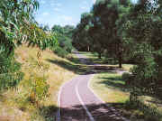 |
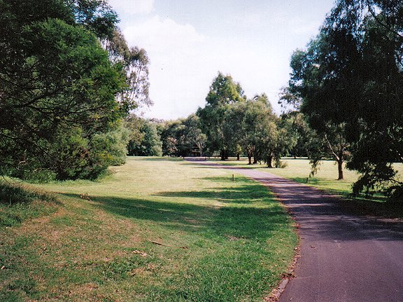
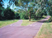
| It provides a habitat for abundant bird
life. Many paths criss-cross the park in addition to the
Maribyrnong river trail, including one which climbs up a fairly
steep hill to give you a good view of the park. |
 |
 |
|
The riverside trail in Brimbank Park links to a path which follows the
Maribyrnong all the way to Canning Reserve, the turning point of
the previous walk. |