My Terrain Rendering Software
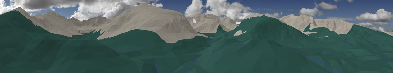
Here is my first visual output from my terrain rendering program. Pictured here are various vantage points in and around the Glacier Gorge and continental divide areas of Rocky Mountain National Park in Colorado. To date, only 33 square miles or 4% of the eventual 795 square mile area has been digitized, and the model area represented here is composed of 67,219 triangles. The colors used to paint the simulation are currently derived from a hand painted, 8-bit color lookup table based texture map, but the rendering program also accepts 24-bit, true color satellite images as well.
The implementation of this terrain rendering program involves the research, development and integration of several dozen algorithms and data structures. Currently, only about half of these algorithms have either been partially or fully implemented in these pictures. The original terrain point sample data came from a hand digitized, commercially available topographic map of the park.
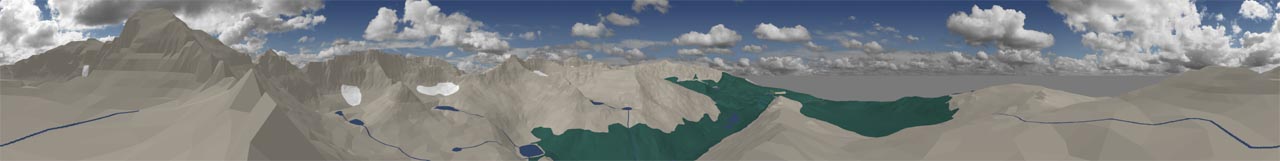
Storm Peak (elev. 13,326 ft., 360 degree field of view)
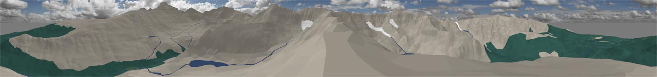
Mc Henry's Peak (elev. 13,360 ft., 360 degree field of view)

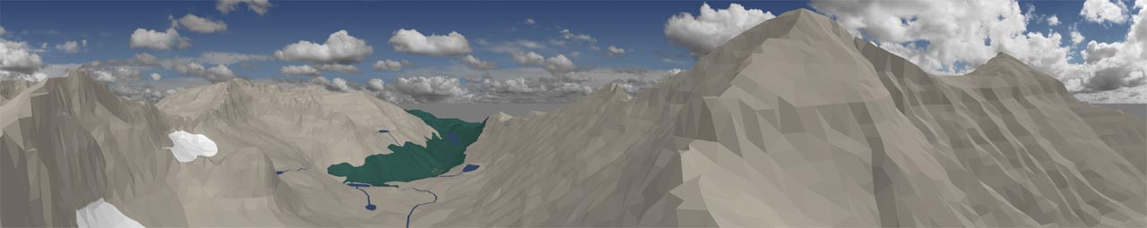
Thatchtop (elev. 12,720 ft., 360 degree field of view)
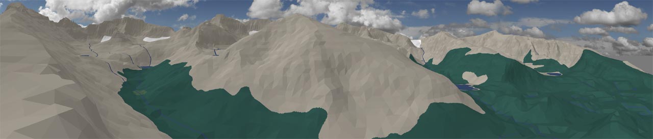
Pagoda Mountain (elev. 13,497 ft., 226 degree field of view)
Half Mountain (elev. 11,720 ft., 167 degree field of view)
Glacier Knob (elev. 10,210 ft., 173 degree field of view)
Last Updated: December 5, 2003
HTML URL: http://www.oocities.org/~special_effect/terrain_rendering.html
E-Mail: special_effect.geo@yahoo.com or click here