Ebersheim bei Mainz am Rhein
And vicinity
The following aerial images were obtained from the United States National Archives And Records Administration (NARA) as RG373~CAN ON16377~MISSION 33-MV29~Exp 2035. This specific locale is available on a 9" x 9" negative at a scale of 1:50000 only.
(click on the images below for a larger version)
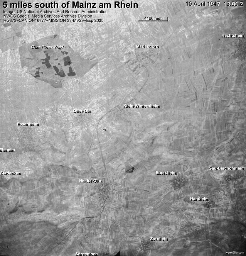
Greater Vicinity
Hechtsheim, Marienborn, Ober-Olmer Wald, Klein-Winternheim, Ober-Olm, Essenheim, Elsheim, Stadecken, Nieder-Olm, Ebersheim, Gau-Bischofsheim, Harxheim, Zornheim, Sörgenloch.
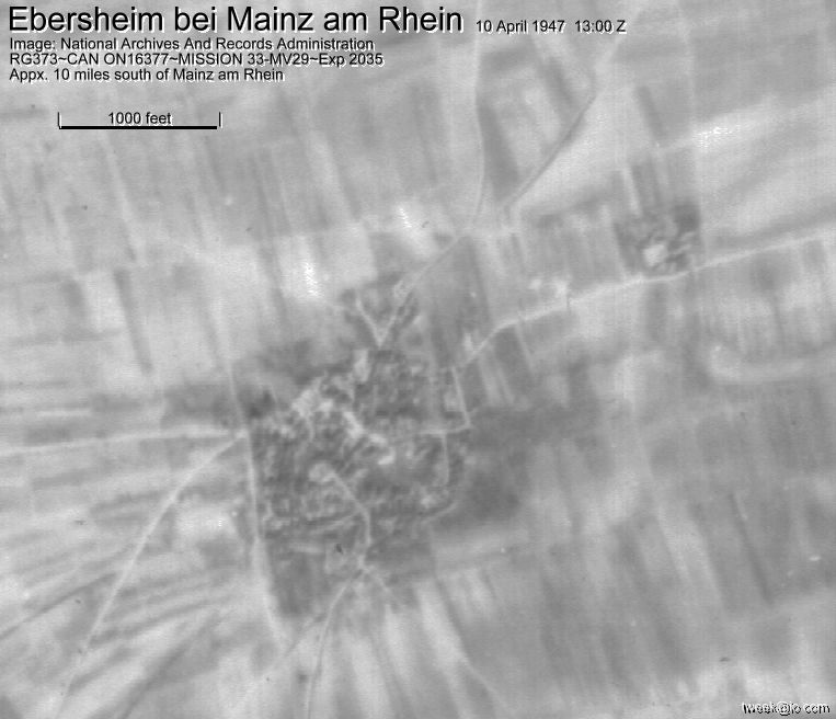
Ebersheim and vicinity
Ebersheim, Gau-Bischofsheim, Harxheim, Zornheim, Nieder-Olm, Sörgenloch

Ebersheim
Aerial images of other locations are available and perhaps
with higer resolution. To obtain aerial images in the NARA archives, you
can go to the web page of NARA's Cartographic
and Architectural Branch (NWCS-Cartographic) for further information.
They will respond to your request by sending you the item numbers of the
files you are interested in. Along with this information, they will
send you information about various vendors with on-site facilities who
can complete your order. NARA is only an archive service and the
actual reproduction from NARA material must be done by one of the vendors.
[The vendor I used was National
Air Survey Center.]
copyright 1999 Michael D. Maxfield
tweek@io.com