SAUFOR XPLoReS STuNNiNG CaPe ToWN, SouTH aFRiCa
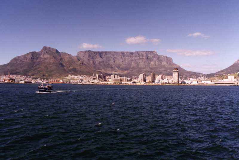
All the following pics on this page have been reduced 2 thumbnail-size in order 2 minimise downloading time and when clicked will open the full-size view in a new window... NJOY the AWEsome scenes of one of the most picturesque cities in the world!!
Following pics kindly provided by Mr. Jeff Challender


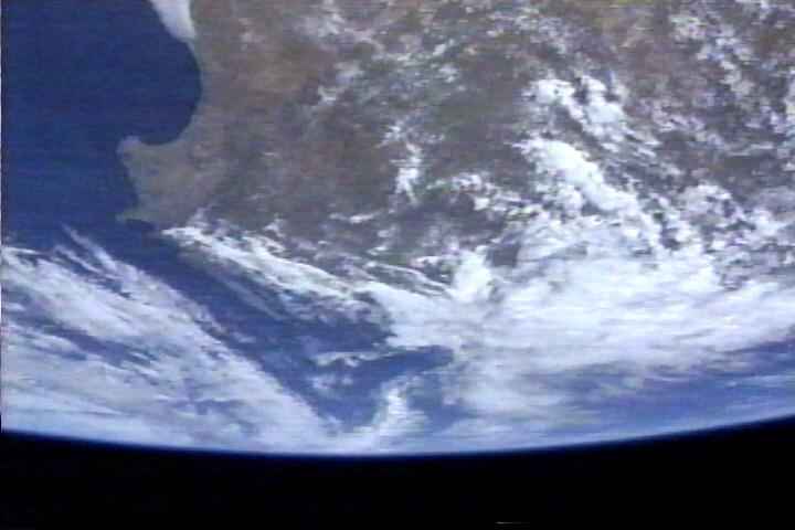

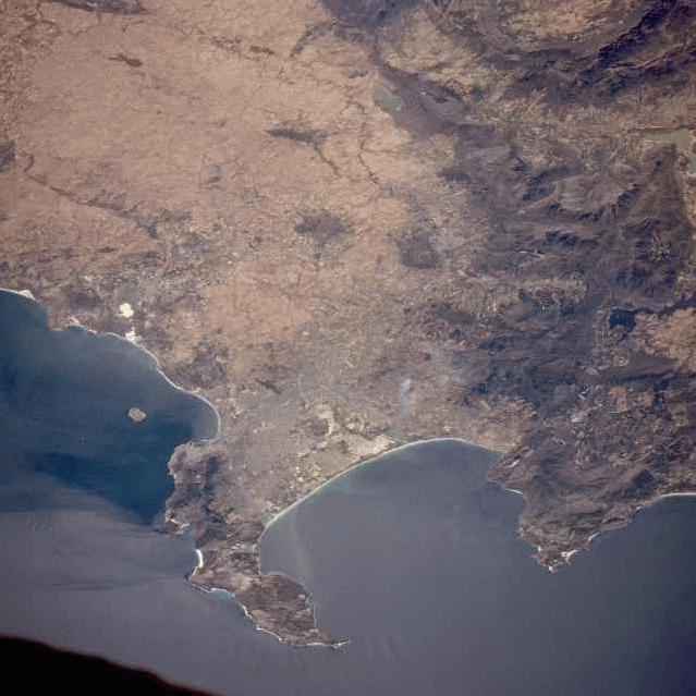
Pic below copied from Nasa's http://earth.jsc.nasa.gov/ & i rotated it 180 degrees 2 show a clearer orientation...
STS063-704-073 Cape Town, Republic of South Africa January 1995 Cape Town, considered to be one of the great scenic cities of the world, is captured in this southwest-looking, low-oblique photograph. In the Republic of South Africa, Cape Town is second to Johannesburg in population and second to Durban as a port and industrial center. The city, situated in the southwestern part of the Cape Province, lies at the foot of Table Mountain [3567 feet (1088 meters) in altitude] on the shore of Table Bay, in which lies Robbin Island (Robbeneiland). Because the mountains obstruct inland expansion, the city has developed along the coast—its western suburbs fronting Table Bay and its southern suburbs fronting False Bay. Agricultural areas (brownish-tan) stretch northward from the city along the coastal plain. Food processing, wine making, and clothing manufacturing are the city’s most important industries. Other industries include motor vehicle plants, shoe manufacturing, tourism, printing, oil, and engineering. Cape Town is often called the "Mother City of South Africa" because of its historical significance. The Cape of Good Hope appears at the southern tip of the peninsula. (copied from http://earth.jsc.nasa.gov/lores.cgi?PHOTO=STS063-704-073 on 2002/04/02)