Lilydale, Healesville and Yering
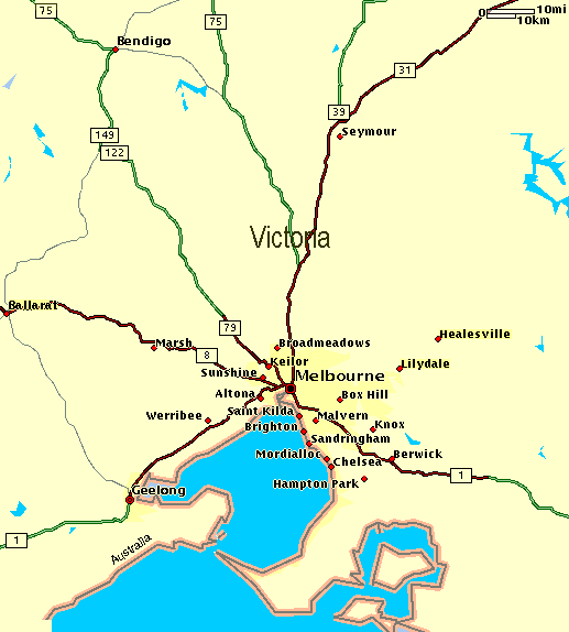
The Lilydale township is 35 km east of Melbourne, and is situated centrally in the former Lillydale shire which was amalgamated with three others to form the Yarra Ranges shire in 1994. The town is spelt with one "L" and the shire with two.
The first settlement in the district was in the flatter, less forrested northern side of the shire, adjoining the southern side of the Yarra River, in the late 1830's. That area now comprises Yering and Coldstream. The Lillydale Shire when proclaimed in 1872, extended west to Ringwood. That was excluded in 1924. In 1994, most of the Lillydale Shire was united with most of Sherbrooke and all of Healesville and Upper Yarra Shires to form the Yarra Ranges Shire.
The discovery of gold in the upper Goulburn River and Woods Point areas in the late
1850's caused the formation of a miner's
access track. The place where the Woods
Point Road crossed the Olinda Creek was
chosen for a town survey. The origin
of the name is uncertain. One version is
that the Government surveyor, suggested
the name after hearing his chainman
singing a popular song "Lilly dale"
Another is that he was inspired by
the lillies growing in the pools and along
the creek. The third is that the surveyor's
wife was named Lilly.
Land sales in the town were held in 1860 and within
two years there was a Post Office, a store, a
butcher's shop and a hotel. In the 1870's it
became a sales centre for livestock from the
Coldstream area.
Schools and churches were built in the 1870's.
The railway line from Melbourne was opened in 1881.