|
NASA/GSFC/JPL, MISR Team.
“AfricaSRTM-SatelliteNile-picasa.jpg”
Online Image. Shuttle Radar Topography Mission. 16 May 2005 65kb. 553×602px.
<http://photojournal.jpl.nasa.gov/jpegMod/PIA02647_modest.jpg>
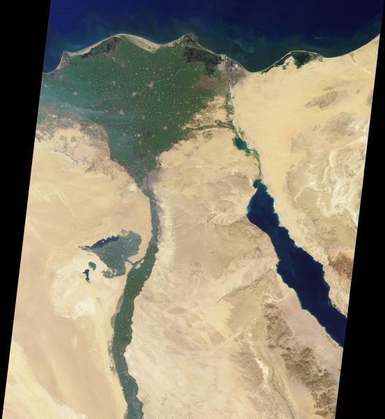
Africa - Nile Satellite Photo
This image shows a satellite photo of Egypt in Africa.
It was created from a satellite photo produced by NASA's
Shuttle Radar Topography Mission (SRTM). Using Google's free Picasa2 program, the
color and lighting were enhanced and then sharpened to obtain the image above. The
original image can be viewed at the NASA link above.
It's a sandy brown, with the green ribbon
of the Nile River vegetation zone snaking its way to the fan-shaped Nile Delta. The Nile cradled the
ancient Egyptian civilization which was the second to arise in human history, next only to the Sumerian
city states. Egypt was united by Narmer in 3000BC, while Uruk was the first Sumerian city state in 4000BC.
|
