Cactus to Clouds Hiking Guide
Maps, Photos, GPS, & Details
Please be careful!
This year (2009) 2 people have died in the heat while attempting Skyline
and another body was recovered in a nearby area.
Mt. San Jacinto Message Board
 |
 |

|
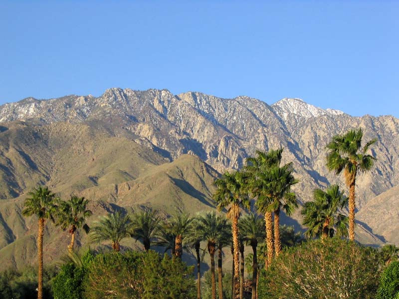
Skyline in a Nutshell: 4 Things to Know1. Hiking to the top of the Tram is an 8,000-foot climb over 11 miles of rocky terrain commonly known as the "Skyline trail." To prepare for this, it is strongly recommended that you do a 5,000-foot climb two weeks prior, preferably in a climate similar to Palm Springs. One week may not be enough time to fully recover, and a 2,000-foot climb is way too short. 2. Dehydration and heat exhaustion play a role in many of the rescues on Skyline, and people frequently underestimate the amount of water required. This hike normally takes about one gallon of water. Even in the winter time, a small person still needs a minimum 64 fl. oz. to stay hydrated. In the summer time a large person might need two gallons. Carbohydrates are necessary to avoid low blood sugar, and salt is important for preventing muscle cramps. In 2009, 2 people have died in the heat while attempting Skyline, and possibly a third person. 3. The ice can kill you. In the winter and spring, the upper section has snow and ice shaded by the trees, even if you can't see it from the desert below. Crampons and ice axe are mandatory, and it's very important to practice using them first. In January of 2004, a very experienced hiker (professional outdoor guide) fell to his death because he slipped down an ice chute. Even marines have been rescued on Skyline because they were not expecting steep icy slopes. In recent years, another hiker died of hypothermia during a snowstorm. 4. People do get lost on the upper section, especially if it's dark or if there's any snow. Even in the winter, it's a good idea to start in the morning for this very reason. For first-time hikers, it's a good idea to go with somebody who has done this before.
These four points are the most important things to remember. Everything else is just minor details. After a small quiz, you can access the photos, maps, and GPS data on a different web page. This is the easiest quiz in the world! Skyline Quiz & Maps, Photos, GPS This web page is not affiliated with California State Parks, Bureau of Land Management, Riverside Mountain Rescue Unit, the Palm Springs Aerial Tramway, the City of Palm Springs, or any agency. Attempt Skyline at your own risk. The author doesn't know everything, and this site does not discuss everything that can possibly happen on Mt. San Jacinto. Please do a basic reality check whenever using any of the resources or information on this site. Aside from all that, have fun! |
)
)
|
Web site created by Perry Scanlon. |